field_i_picture
field_in_sequence
8
field_t_remark
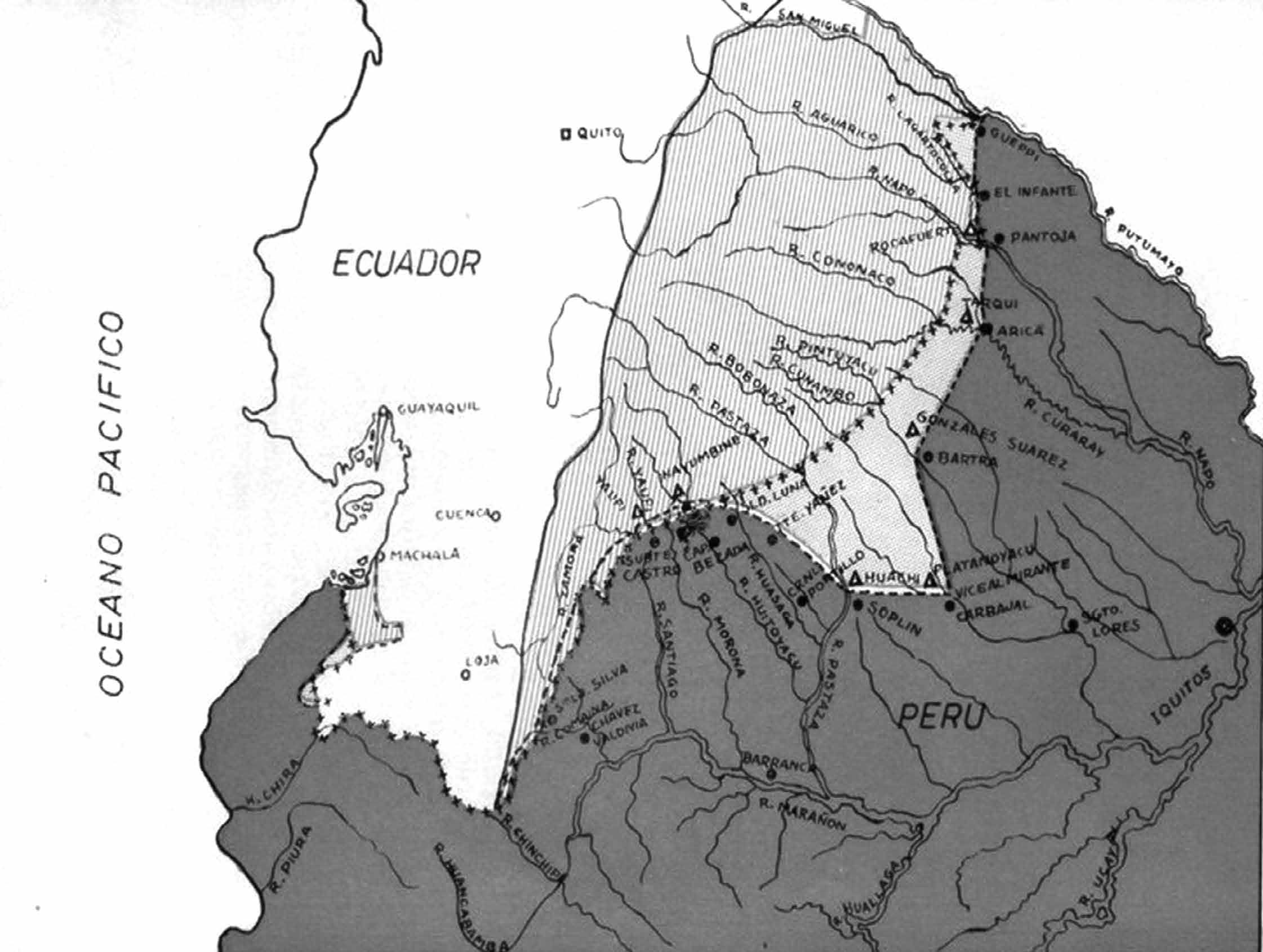
Development of the border between Ecuador and Peru in the period 1889-1942. The areas shaded with vertical lines were all claimed by
Peru on basis of the Real Cédula of 1802. The Status Quo Line, marked with small crosses, and – since the Rio de Janeiro Protocol of 1942 –
has been accepted as the international border. Areas south and east of the Status Quo Line were claimed by Ecuador. (IEHAP via author)
field_t_subtype
map
fr_quality